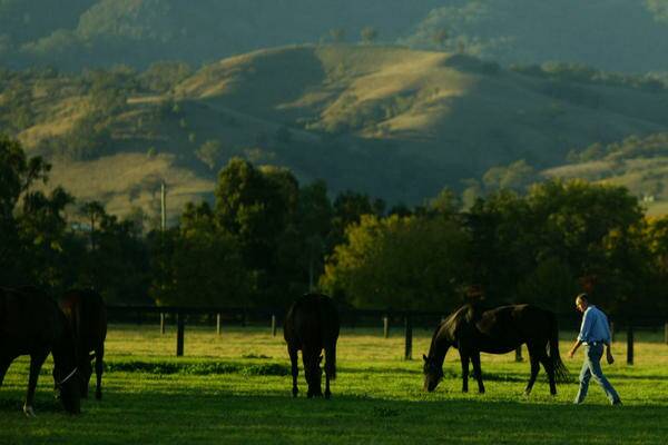
NEW mapping shows the overlap between the Upper Hunter’s mineral resources and prime agricultural lands, with 12per cent of its coal resources and 14per cent of its coal seam gas lying beneath vineyards, farms and horse studs.
Subscribe now for unlimited access.
or signup to continue reading
Under the state government’s draft land use plan for the Upper Hunter, released this week, mining projects proposed for ‘‘strategic agricultural land’’ have to be submitted to an independent expert panel for consideration before a development application can be lodged.
Planning Minister Brad Hazzard flagged yesterday the need for the government to go further and examine how greater consideration could be given to the cumulative impacts of mining operations when assessing new projects.
The draft plan maps high-quality agricultural land and clusters of ‘‘critical industry’’, including the thoroughbred horse breeding studs near Scone and the vineyards at Pokolbin.
It covers the Upper Hunter, Bylong and Ulan, a total area of 2.41million hectares.
Almost 200,000 hectares, or 8.2per cent, of the region has been deemed biophysical agricultural land, for its highly fertile soil.
The equine industry covers about 7.6per cent, or 183,452 hectares, while vineyards cover 2.2per cent, or 53,292 hectares.
But about 14per cent is strategic land with coal seam gas beneath it, and 12per cent of the region has a coal resource overlaid with strategic land.
Mr Hazzard said it was clear more needed to be done during the project assessment process to consider the potential cumulative impacts where a mine was proposed in an area where there were already several operating.
Vignerons and farmers say the draft should have explicitly quarantined sensitive lands from mining and exploration.
An online consultation forum will be launched today and a public forum will be held in Singleton on April 13.

