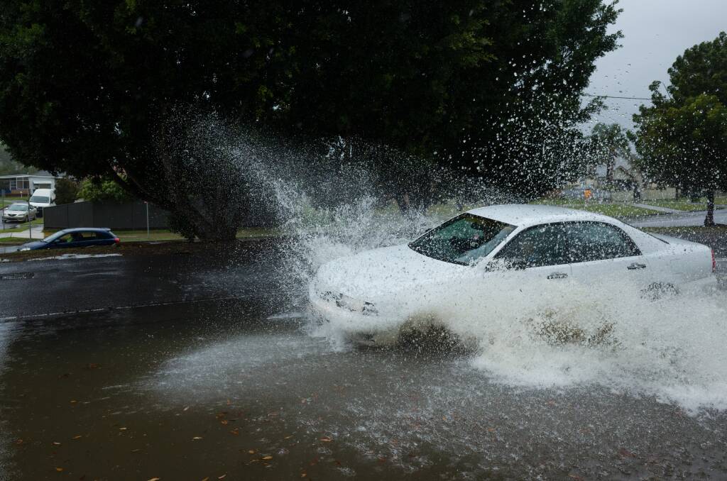
AUTHORITIES say heavy rain forecast for the Hunter on Tuesday and Wednesday has the potential to cause flash flooding.
Subscribe now for unlimited access.
or signup to continue reading
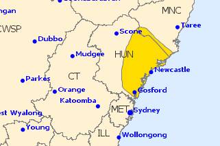
A severe weather warning has been issued for the Newcastle, Central Coast and Lower Hunter areas.
A coastal trough will develop along the central parts of the coast over the next 24 hours; cradled between two strong high pressure systems. This will bring intense bursts of rain creating dangerous conditions.
The weather system has the potential to cause local overland flooding as well riverine flooding from Wednesday onwards.
Catchments likely to be affected include:
- Manning River – minor flooding
- Wallis Lake – local flooding
- Myall River – local flooding
- Karuah River – local flooding
- Wollombi Brook and Lower Hunter River – minor flooding
- Newcastle area – local flooding
- Paterson and Williams Rivers – minor flooding
- Central Coast – local flooding
- Lake Macquarie – local flooding
The State Emergency Service warned residents to ensure their homes are prepared, with the Bureau of Meteorology predicting the rain to arrive on Tuesday evening.
The Bureau forecast 100mm to 200mm of ainfall over the warning area during Wednesday. Some locations may receive more than 200mm.
Locations which may be affected include Newcastle, Gosford, Cessnock, Maitland, Morisset, Singleton, Wyong, The Entrance, Lake Macquarie, Woy Woy, Wollombi, Dungog and Kulnura.
The rain is set to persist until Friday before clearer skies develop over the weekend.

“The NSW SES is asking people in the affected areas, especially in the Newcastle and Central Coast areas, to be aware of the situation and to ensure that their properties are prepared,” the SES said.
The SES warned residents not to enter floodwaters, and to take other precautions such as clearing gutters.
“Rural property owners should consider whether livestock and equipment should be relocated to higher ground as a precaution.”
The next flood watch update will be issued by 10 am on Wednesday March 21, 2018.
IN NEWS TODAY:

